fastai-torchgeo provides adapters and utilities to enable the torchgeo package to be used alongside fastai. The goal is make it easier to use fastai for geospatial machine learning.
In addition to the utilities, we also provide examples of how to integrate torchgeo datasets and models into fastai workflows, such as EDA, training and inference.
Each of fastai-torchgeo modules have their own page and you are encouraged to browse through them as they also provide usage examples.
To get a quick taste of what this package can do, take a look at the examples below.
Note: All the pages in this site are written as jupyter notebooks that can be run on Google Colab. Just click on the button near the top of each notebook (including this one!).
Examples
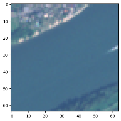
Loading a tif file
from torchgeo.datasets import EuroSAT100import fastai.vision.allas fv# load a sample geotiff datasetsat_path = fv.untar_data(EuroSAT100.url)sat_images = fv.get_image_files(sat_path)sat_image = sat_images[15]; sat_image